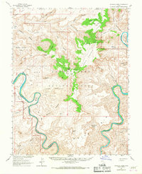
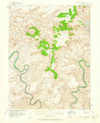
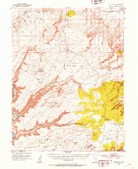
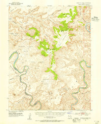
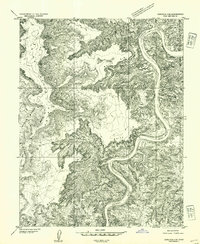
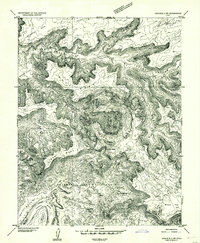
1951 Map of Upheaval Dome
USGS Topo · Published 1967About this map
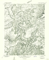
The Colorado River and Green River converge in this high-desert territory, carving the deep canyons and labyrinthine mesas that would eventually become Canyonlands National Park. This 1951 aerial survey documents the dramatic geological structure of Upheaval Dome and the broad expanses of the White Rim before the region saw heavy modern visitation. Evidence of earlier human presence is noted at a Cliff Dwelling near Aztec Butte, while industrial interests are hinted at by a Shaft located in Willow Flat.
Find a feature on this map
52 named features on this map. Tap any name to fly to it.
Don’t see what you’re looking for? This feature index may not catch every label — zoom into the map to look around manually.
Map Details
Editions of this 1951 Upheaval Dome Map
3 editions found
Other maps of this area

1885 · San Rafael
USGS Topo · 1:250,000

1885 · La Sal
USGS Topo · 1:250,000
1951 · The Knoll
USGS Topo · 1:62,500
1951 · Upheaval Dome
USGS Topo · 1:62,500

1952 · Tidwell 4 SE
USGS Topo · 1:24,000
1952 · Carlisle 2 SE
USGS Topo · 1:24,000
1952 · Carlisle 2 NW
USGS Topo · 1:24,000
1952 · Moab 3 SE
USGS Topo · 1:24,000
1952 · Carlisle 2 NE
USGS Topo · 1:24,000
1952 · Carlisle 2 SW
USGS Topo · 1:24,000