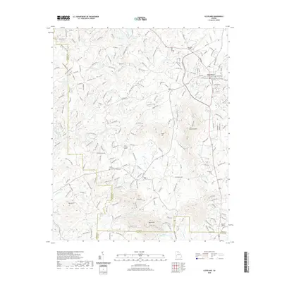
2020 Map of Cleveland
USGS Topo · Published 2020About this map
The White County Courthouse stands at the center of Cleveland, serving as the anchor for this North Georgia community. This modern survey illustrates the transition from the concentrated town center to the sprawling ridges and creek valleys of the surrounding Piedmont. The landscape is defined by its water systems, including the Chestatee River and Tesnatee Creek, alongside man-made landmarks like Lake Arthur and Knight Lake. Historical continuity is visible in the numerous small burial grounds and places of worship dotting the rural road network, such as Smiths Chapel and the Shoal Creek Cem. Several named peaks, including Long Mountain and Piney Mtn, dictate the winding paths of rural routes like Tesnatee Gap Valley Rd, while the Deer Crossing Airport and bridges like the Roy Head Bridge reflect the area's infrastructure.
Find a feature on this map
213 named features on this map. Tap any name to fly to it.
Don’t see what you’re looking for? This feature index may not catch every label — zoom into the map to look around manually.
Map Details
Editions of this 2020 Cleveland Map
This is the sole edition of this map. No revisions or reprints were ever made.
Other maps of this area

1886 · Dahlonega
USGS Topo · 1:125,000

1891 · Gainesville
USGS Topo · 1:125,000

1892 · Dahlonega
USGS Topo · 1:125,000

1896 · Dahlonega
USGS Topo · 1:125,000

1903 · Dahlonega
USGS Topo · 1:125,000

1935 · Cowrock
USGS Topo · 1:24,000
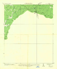
1935 · Neels Gap
USGS Topo · 1:24,000

1938 · Cowrock
USGS Topo · 1:24,000
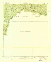
1938 · Neels Gap
USGS Topo · 1:24,000
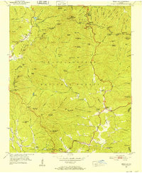
1950 · Neels Gap
USGS Topo · 1:24,000