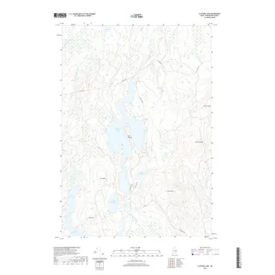
2018 Map of Clifford Lake
USGS Topo · Published 2018About this map
West Arm Clifford Lake and its surrounding wetlands form the heart of this Washington County landscape, where water and ridge lines dictate the movement across the terrain. The hydrological network is dense, defined by Little Musquash Stream, Big Wallamatogus Stream, and Forest City Stream which drain the numerous small lakes and ponds like Possum Lake and Hosea Pug Lake.
Find a feature on this map
28 named features on this map. Tap any name to fly to it.
Don’t see what you’re looking for? This feature index may not catch every label — zoom into the map to look around manually.
Map Details
Editions of this 2018 Clifford Lake Map
This is the sole edition of this map. No revisions or reprints were ever made.
Other maps of this area
1941 · Wesley
USGS Topo · 1:62,500
1941 · Tug Mountain
USGS Topo · 1:62,500
1941 · Big Lake
USGS Topo · 1:62,500
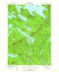
1941 · Wabassus Lake
USGS Topo · 1:62,500
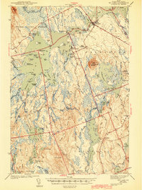
1943 · Big Lake
USGS Topo · 1:62,500
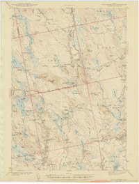
1943 · Tug Mountain
USGS Topo · 1:62,500
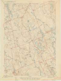
1943 · Wesley
USGS Topo · 1:62,500
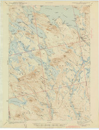
1943 · Wabassus Lake
USGS Topo · 1:62,500
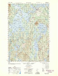
1952 · Big Lake
USGS Topo · 1:50,000
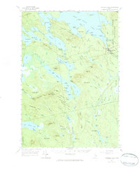
1953 · Wabassus Lake
USGS Topo · 1:62,500