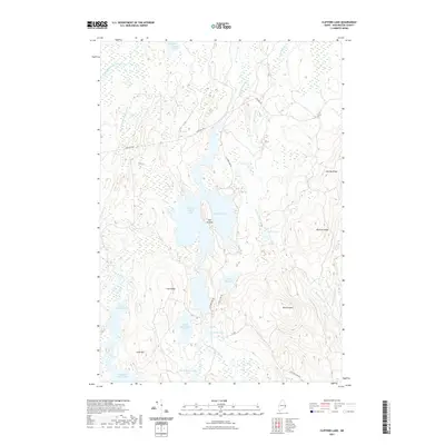
2021 Map of Clifford Lake
USGS Topo · Published 2021About this map
Clifford Lake serves as the central focal point of this Washington County interior, where complex glacial hydrology forms a network of interconnected waterways and ridges. The landscape is defined by its dramatic relief, specifically Harmon Mtn and Grey Mtn, which overlook a series of smaller basins such as Hosea Pug Lake and Possum Lake. Navigation through this timber-rich region is facilitated by the historic Stud Mill Rd, a prominent corridor that intersects the landscape alongside Clifford Lake Rd. The map illustrates a dense concentration of brooks and streams, including Little Wakamatoque Stream and Clifford Stream, which drain into larger bodies like the West Arm and North Beaverdam Lake. This 2021 survey provides a look at the modern conservation of these vital Maine water resources and the topography that shapes their flow.
Find a feature on this map
30 named features on this map. Tap any name to fly to it.
Don’t see what you’re looking for? This feature index may not catch every label — zoom into the map to look around manually.
Map Details
Editions of this 2021 Clifford Lake Map
This is the sole edition of this map. No revisions or reprints were ever made.
Other maps of this area

1941 · Wesley
USGS Topo · 1:62,500

1941 · Tug Mountain
USGS Topo · 1:62,500

1941 · Big Lake
USGS Topo · 1:62,500

1941 · Wabassus Lake
USGS Topo · 1:62,500

1943 · Big Lake
USGS Topo · 1:62,500

1943 · Tug Mountain
USGS Topo · 1:62,500

1943 · Wesley
USGS Topo · 1:62,500

1943 · Wabassus Lake
USGS Topo · 1:62,500

1952 · Big Lake
USGS Topo · 1:50,000

1953 · Wabassus Lake
USGS Topo · 1:62,500