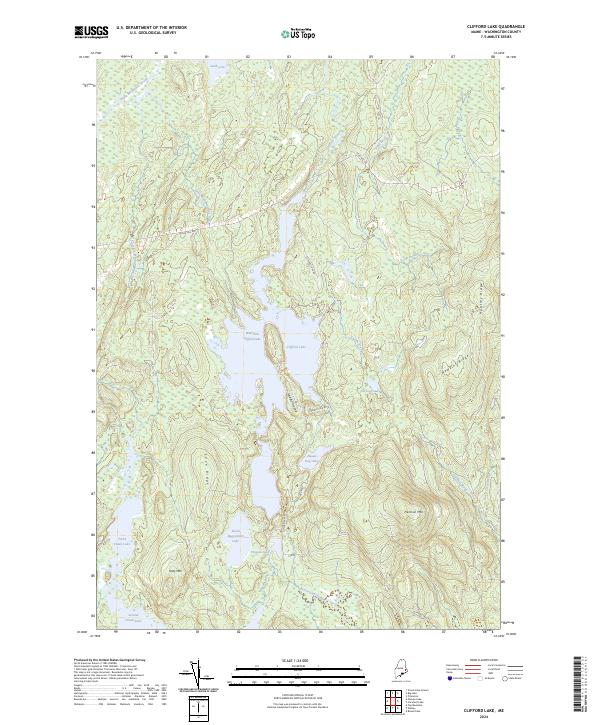
2024 Map of Clifford Lake
USGS Topo · Published 2024About this map
Clifford Lake serves as the central focal point of this Washington County landscape, characterized by an intricate network of waterways and elevated ridges. The glacial geography is clearly defined by elongated water bodies like the West Arm Clifford Lake and Hosea Pug Lake, which are separated by prominent landforms such as the Middle Ground and Love Ridge. This terrain, dominated by peaks like Harmon Mtn and Grey Mtn, reflects the interior wilderness of eastern Maine, where access is provided by industrial arteries such as Stud Mill Rd and Clifford Lake Rd.
Find a feature on this map
29 named features on this map. Tap any name to fly to it.
Don’t see what you’re looking for? This feature index may not catch every label — zoom into the map to look around manually.
Map Details
Editions of this 2024 Clifford Lake Map
This is the sole edition of this map. No revisions or reprints were ever made.
Other maps of this area

1941 · Wesley
USGS Topo · 1:62,500

1941 · Tug Mountain
USGS Topo · 1:62,500

1941 · Big Lake
USGS Topo · 1:62,500

1941 · Wabassus Lake
USGS Topo · 1:62,500

1943 · Big Lake
USGS Topo · 1:62,500

1943 · Tug Mountain
USGS Topo · 1:62,500

1943 · Wesley
USGS Topo · 1:62,500

1943 · Wabassus Lake
USGS Topo · 1:62,500

1952 · Big Lake
USGS Topo · 1:50,000

1953 · Wabassus Lake
USGS Topo · 1:62,500