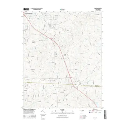
2016 Map of Climax
USGS Topo · Published 2016About this map
Forest Oaks and Pleasant Garden define the suburban and rural landscape south of Greensboro during the mid-2010s. The region is characterized by a network of small water bodies and private landing strips, including May Airport and Kecks Airport, reflecting a unique aviation-focused residential pattern. The terrain is divided by the Guilford County and Randolph County line, with the community of Climax positioned near the center of the survey area.
Find a feature on this map
28 named features on this map. Tap any name to fly to it.
Don’t see what you’re looking for? This feature index may not catch every label — zoom into the map to look around manually.
Map Details
Editions of this 2016 Climax Map
This is the sole edition of this map. No revisions or reprints were ever made.
Other maps of this area

1951 · Greensboro
USGS Topo · 1:24,000

1952 · Mc Leansville
USGS Topo · 1:24,000

1953 · Raleigh
USGS Topo · 1:250,000

1953 · Greensboro
USGS Topo · 1:250,000

1954 · Greensboro
USGS Topo · 1:250,000

1954 · Raleigh
USGS Topo · 1:250,000

1962 · Greensboro
USGS Topo · 1:250,000

1966 · Greensboro
USGS Topo · 1:250,000

1970 · Gibsonville
USGS Topo · 1:24,000

1970 · Kimesville
USGS Topo · 1:24,000