
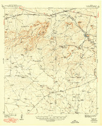
1949 Map of Cline
USGS Topo · Published 1949About this map
The Anacacho Mountains dominate this 1940s landscape, where industrial extraction and ranching defined the local economy at the convergence of four Texas counties. The region's unique geology is evident in the concentration of Asphalt Mines and the presence of Asphalt Mtn, supported by specialized infrastructure like the Asphalt Belt Line railroad. This industrial activity centered around Blewett, while the Southern Pacific line serviced the settlements of Cline and Odlaw to the north.
Find a feature on this map
112 named features on this map. Tap any name to fly to it.
Don’t see what you’re looking for? This feature index may not catch every label — zoom into the map to look around manually.
Map Details
Editions of this 1949 Cline Map
2 editions found
Other maps of this area

1896 · Brackett
USGS Topo · 1:125,000

1897 · Brackett
USGS Topo · 1:125,000

1898 · Uvalde
USGS Topo · 1:125,000

1899 · Uvalde
USGS Topo · 1:125,000

1938 · Turkey Mountain
USGS Topo · 1:48,000

1939 · La Pryor
USGS Topo · 1:62,500

1940 · Paloma
USGS Topo · 1:62,500

1940 · Chacon Creek
USGS Topo · 1:62,500

1943 · Turkey Mountain
USGS Topo · 1:62,500

1944 · Spofford
USGS Topo · 1:62,500