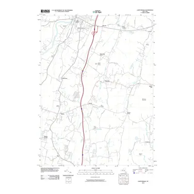
2010 Map of Clintondale
USGS Topo · Published 2010About this map
The State University of New York at New Paltz anchors the northwestern corner of this quadrangle, illustrating the institutional footprint of this historic college town. Southeast of the main settlement, the landscape transitions into a mix of agricultural and residential clusters, including Wicklow Orchards and Dressel Farms, reflecting the region's enduring farming heritage. Local history is well-preserved through several burial grounds, such as New Paltz Cemetery, Lloyd Union Cemetery, and the East Plattekill Cemetery.
Find a feature on this map
74 named features on this map. Tap any name to fly to it.
Don’t see what you’re looking for? This feature index may not catch every label — zoom into the map to look around manually.
Map Details
Editions of this 2010 Clintondale Map
This is the sole edition of this map. No revisions or reprints were ever made.
Other maps of this area

1893 · Poughkeepsie
USGS Topo · 1:62,500

1894 · Poughkeepsie
USGS Topo · 1:62,500

1898 · Rhinebeck
USGS Topo · 1:62,500

1901 · Rosendale
USGS Topo · 1:62,500

1903 · Poughkeepsie
USGS Topo · 1:62,500

1903 · Newburg
USGS Topo · 1:62,500

1903 · Rosendale
USGS Topo · 1:62,500

1934 · Rhinebeck
USGS Topo · 1:48,000

1936 · Poughkeepsie
USGS Topo · 1:48,000

1939 · Rhinebeck
USGS Topo · 1:62,500