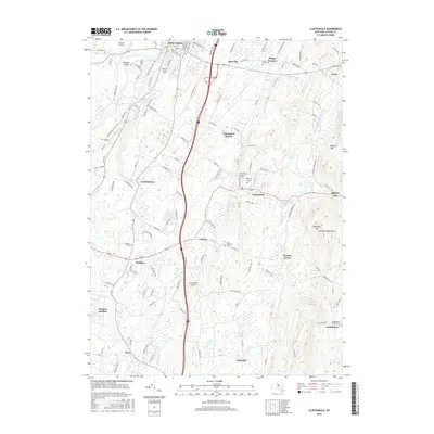
2016 Map of Clintondale
USGS Topo · Published 2016About this map
SUNY Coll at New Paltz anchors the northwestern corner of this landscape, where the historic Wallkill River corridor meets the modern infrastructure of the Hudson Valley. The terrain transitions from the valley floor eastward toward the high ridges of Illinois Mtn and the Marlboro Mtn, separated by the steep notch of Baileys Gap. This area is defined by a network of small hamlets and crossroads, including Clintondale, Modena, and Ardonia, which evolved around agricultural and local transit points.
Find a feature on this map
130 named features on this map. Tap any name to fly to it.
Don’t see what you’re looking for? This feature index may not catch every label — zoom into the map to look around manually.
Map Details
Editions of this 2016 Clintondale Map
This is the sole edition of this map. No revisions or reprints were ever made.
Other maps of this area

1893 · Poughkeepsie
USGS Topo · 1:62,500

1894 · Poughkeepsie
USGS Topo · 1:62,500

1898 · Rhinebeck
USGS Topo · 1:62,500

1901 · Rosendale
USGS Topo · 1:62,500

1903 · Poughkeepsie
USGS Topo · 1:62,500

1903 · Newburg
USGS Topo · 1:62,500

1903 · Rosendale
USGS Topo · 1:62,500

1934 · Rhinebeck
USGS Topo · 1:48,000

1936 · Poughkeepsie
USGS Topo · 1:48,000

1939 · Rhinebeck
USGS Topo · 1:62,500