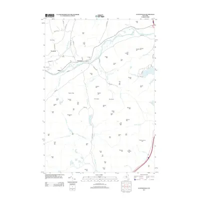
2013 Map of Clintonville
USGS Topo · Published 2013About this map
Clintonville sits as a central point in this Adirondack landscape where the Ausable River and Little Ausable River draw local geography toward the Champlain Valley. The industrial history of the region is written into the terrain at Ore Bed Mtn, while local genealogy is rooted at Riverview Cem near the riverbanks. To the south and east, the terrain becomes increasingly complex with numerous peaks and ridges, including the prominent Pokamoonshine Mtn and the distinctively named Lime Ledges. Water bodies like Augur Lake and Trout Pond are scattered among the mountains, connected by a network of brooks such as Curren Brook and Cassidy Brook. The presence of Thomasville and Rogers along with landmarks like the Dry Bridge illustrates the local settlement patterns that have persisted through the early twenty-first century.
Find a feature on this map
100 named features on this map. Tap any name to fly to it.
Don’t see what you’re looking for? This feature index may not catch every label — zoom into the map to look around manually.
Map Details
Editions of this 2013 Clintonville Map
This is the sole edition of this map. No revisions or reprints were ever made.
Other maps of this area

1894 · Plattsburg
USGS Topo · 1:62,500

1895 · Willsboro
USGS Topo · 1:62,500

1895 · Ausable
USGS Topo · 1:62,500

1903 · Ausable
USGS Topo · 1:62,500

1906 · Plattsburg
USGS Topo · 1:62,500

1913 · Dannemora
USGS Topo · 1:62,500

1939 · Plattsburg
USGS Topo · 1:62,500

1941 · Plattsburg
USGS Topo · 1:62,500

1941 · Willsboro
USGS Topo · 1:62,500

1943 · Willsboro
USGS Topo · 1:62,500