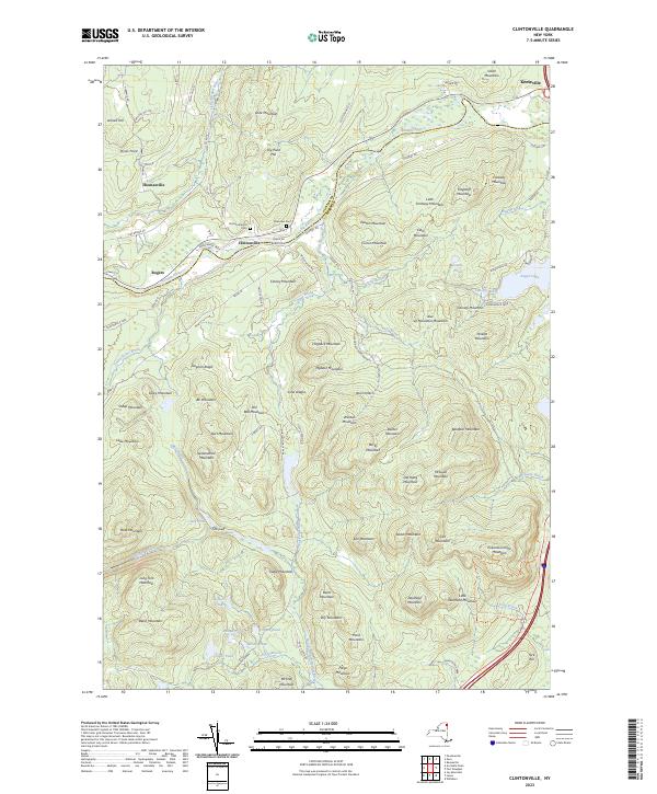
2023 Map of Clintonville
USGS Topo · Published 2023About this map
The Ausable River carves a deep valley through the northern Adirondacks, serving as the historical lifeline for settlements like Clintonville and Keeseville. This 2023 survey illustrates the dense concentration of named peaks and ridges that define the local topography, from the prominent Pokamoonshine Mountain in the southeast to the clusters of mountains near Noon Notch. For genealogists, the map identifies the Clintonville Old Cem and Riverview Cem, providing vital spatial context for early families in these river-valley communities.
Find a feature on this map
109 named features on this map. Tap any name to fly to it.
Don’t see what you’re looking for? This feature index may not catch every label — zoom into the map to look around manually.
Map Details
Editions of this 2023 Clintonville Map
This is the sole edition of this map. No revisions or reprints were ever made.
Other maps of this area

1894 · Plattsburg
USGS Topo · 1:62,500

1895 · Willsboro
USGS Topo · 1:62,500

1895 · Ausable
USGS Topo · 1:62,500

1903 · Ausable
USGS Topo · 1:62,500

1906 · Plattsburg
USGS Topo · 1:62,500

1913 · Dannemora
USGS Topo · 1:62,500

1939 · Plattsburg
USGS Topo · 1:62,500

1941 · Plattsburg
USGS Topo · 1:62,500

1941 · Willsboro
USGS Topo · 1:62,500

1943 · Willsboro
USGS Topo · 1:62,500