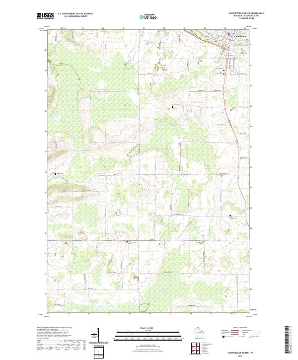
2022 Map of Clintonville South
USGS Topo · Published 2022About this map
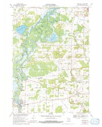
Clintonville anchors the northeast corner of this Waupaca County landscape, where the street grid transitions into a vast network of wetlands and rural townships. The southern outskirts of the city are defined by significant local landmarks such as Graceland Cem and Saint Rose Cem, marking the community's established history. Southward, the terrain is characterized by large conservation and drainage features like Marble Swamp, Blueberry Marsh, and Mud Lake, which dictate the placement of rural corridors such as Co Rd D and Bear Creek Rd.
Find a feature on this map
53 named features on this map. Tap any name to fly to it.
Don’t see what you’re looking for? This feature index may not catch every label — zoom into the map to look around manually.
Map Details
Editions of this 2022 Clintonville South Map
This is the sole edition of this map. No revisions or reprints were ever made.
Historical Maps of Larrabee Through Time
8 maps found