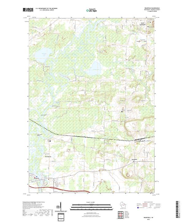
2022 Map of Readfield
USGS Topo · Published 2022About this map
The Wolf River defines the intricate landscape of this Waupaca County region, carving a complex network of bayous and islands as it winds between New London and Fremont. This 2022 survey documents a watery environment where the river splits into numerous channels such as Horseshoe Bayou, Colic Bayou, and Templeton Bayou. The presence of several artificial or natural cuts like Mill Cut and Big Cut suggests a history of managing these waterways for navigation or industry.
Find a feature on this map
111 named features on this map. Tap any name to fly to it.
Don’t see what you’re looking for? This feature index may not catch every label — zoom into the map to look around manually.
Map Details
Editions of this 2022 Readfield Map
This is the sole edition of this map. No revisions or reprints were ever made.
Other maps of this area

1955 · Green Bay
USGS Topo · 1:250,000

1956 · New London
USGS Topo · 1:48,000

1956 · Weyauwega
USGS Topo · 1:48,000

1961 · Poy Sippi
USGS Topo · 1:62,500

1961 · Oshkosh
USGS Topo · 1:62,500

1961 · Lake Poygan
USGS Topo · 1:24,000

1961 · Oshkosh NW
USGS Topo · 1:24,000
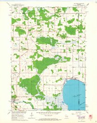
1961 · Poy Sippi
USGS Topo · 1:24,000

1969 · New London
USGS Topo · 1:24,000

1969 · Readfield
USGS Topo · 1:24,000