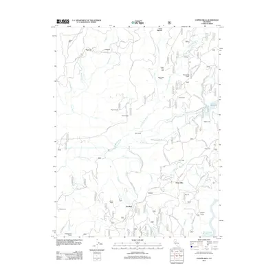
2012 Map of Clipper Mills
USGS Topo · Published 2012About this map
Clipper Mills and the nearby community of Woodleaf anchor this northern Sierra landscape, which is defined by the deep incisions of the S Fork Feather River. The topography transitions from high points like Mooreville Ridge and Empire Ridge down to the major water bodies of Lost Creek Reservoir and the New Bullards Bar Reservoir. Historically oriented researchers can identify smaller residential pockets and named locations such as Oroleve, Rogerville, and Lumpkin. The map reveals a complex network of forest access and utility routes, including Woodleaf Tunnel Rd and the La Porte Rd. Further inland, family and work sites like Maynards Ranch, Bean Ranch, and Grizzly Lodge provide specific points of interest for genealogists tracing local history. The drainage patterns of creeks like Know-nothing Cr and Grizzly Cr further illustrate the rugged watershed character of Yuba and Butte counties.
Find a feature on this map
66 named features on this map. Tap any name to fly to it.
Don’t see what you’re looking for? This feature index may not catch every label — zoom into the map to look around manually.
Map Details
Editions of this 2012 Clipper Mills Map
This is the sole edition of this map. No revisions or reprints were ever made.
Other maps of this area

1888 · Smartsville
USGS Topo · 1:125,000

1888 · Bidwell Bar
USGS Topo · 1:125,000

1891 · Bidwell Bar
USGS Topo · 1:125,000

1891 · Smartsville
USGS Topo · 1:125,000

1892 · Smartsville
USGS Topo · 1:125,000

1893 · Bidwell Bar
USGS Topo · 1:125,000

1894 · Smartsville
USGS Topo · 1:125,000

1895 · Bidwell Bar
USGS Topo · 1:125,000

1895 · Smartsville
USGS Topo · 1:125,000

1897 · Bidwell Bar
USGS Topo · 1:125,000