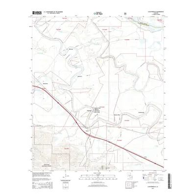
2015 Map of Cloutierville
USGS Topo · Published 2015About this map
Cane River meanders through the heart of Natchitoches Parish, defining a landscape rich in Creole heritage and alluvial geography. This 2015 record highlights the Cane River Creole National Hist Park, preserving the cultural complex of Magnolia and its historic agricultural footprint. The settlement pattern follows the river's winding course, connecting Melrose, Lakeview, and Cloutierville via a network of state routes like La-119. In the southwestern portion, the terrain shifts significantly as the bottomlands give way to the elevations of Sang Pour Sang Hill and Sampusand Hill within the Kisatchie National Forest. A complex system of bayous, including Boggy Bayou and Bayou Derbonne, crisscrosses the low-lying areas, illustrating the intricate drainage of this river valley.
Find a feature on this map
37 named features on this map. Tap any name to fly to it.
Don’t see what you’re looking for? This feature index may not catch every label — zoom into the map to look around manually.
Map Details
Editions of this 2015 Cloutierville Map
This is the sole edition of this map. No revisions or reprints were ever made.
Other maps of this area

1935 · Verda
USGS Topo · 1:31,680

1937 · Chopin NE
USGS Topo · 1:31,680

1937 · Bermuda
USGS Topo · 1:31,680

1937 · Chopin NW
USGS Topo · 1:31,680

1937 · Aloha
USGS Topo · 1:31,680

1937 · Montgomery
USGS Topo · 1:62,500

1937 · Cloutierville
USGS Topo · 1:31,680

1937 · Cypress
USGS Topo · 1:31,680

1942 · Kisatchie
USGS Topo · 1:62,500

1942 · Montgomery
USGS Topo · 1:62,500