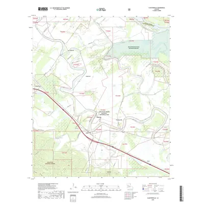
2018 Map of Cloutierville
USGS Topo · Published 2018About this map
Cane River Creole National Historical Park and the surrounding river bottomlands define this portion of Natchitoches Parish. The meandering course of the Cane River creates a unique agricultural and cultural landscape, where settlements like Melrose, Magnolia, and Cloutierville are linked by historical ties to the river's fertile banks. The map reveals the intricate network of parish roads, such as Cat Island Rd and Bayonne Rd, that serve the scattered homesteads and larger landholdings within the valley.
Find a feature on this map
60 named features on this map. Tap any name to fly to it.
Don’t see what you’re looking for? This feature index may not catch every label — zoom into the map to look around manually.
Map Details
Editions of this 2018 Cloutierville Map
This is the sole edition of this map. No revisions or reprints were ever made.
Other maps of this area

1935 · Verda
USGS Topo · 1:31,680

1937 · Chopin NE
USGS Topo · 1:31,680

1937 · Bermuda
USGS Topo · 1:31,680

1937 · Chopin NW
USGS Topo · 1:31,680

1937 · Aloha
USGS Topo · 1:31,680

1937 · Montgomery
USGS Topo · 1:62,500

1937 · Cloutierville
USGS Topo · 1:31,680

1937 · Cypress
USGS Topo · 1:31,680

1942 · Kisatchie
USGS Topo · 1:62,500

1942 · Montgomery
USGS Topo · 1:62,500