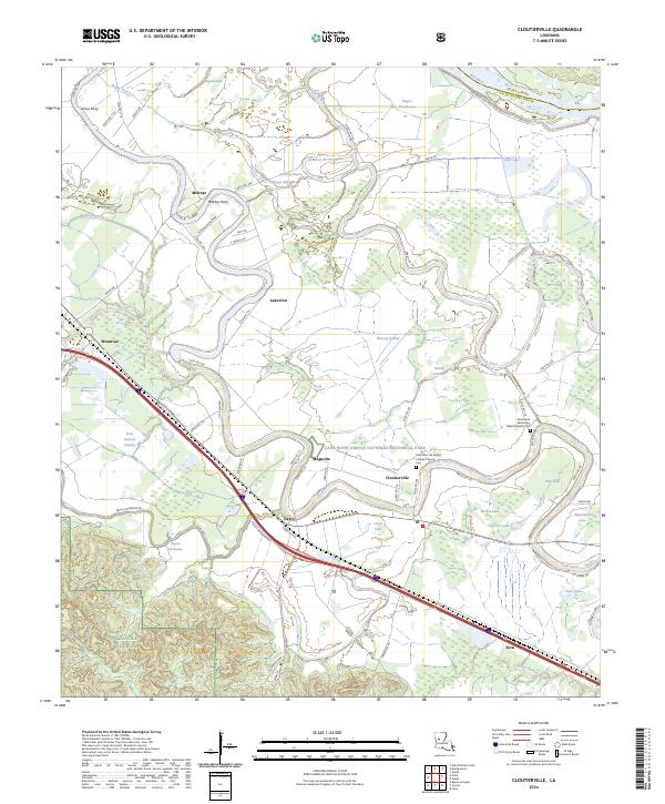
2024 Map of Cloutierville
USGS Topo · Published 2024About this map
Cane River Creole National Historical Park preserves a landscape of significant cultural heritage along the winding path of the Cane River. This 2024 survey documents the dense concentration of historical plantations and community centers including Cloutierville, Melrose, and Magnolia. The map details the intricate relationship between the river and the surrounding lowlands, where Hertzog Swamp and Frost Jackson Swamp define the terrain.
Find a feature on this map
72 named features on this map. Tap any name to fly to it.
Don’t see what you’re looking for? This feature index may not catch every label — zoom into the map to look around manually.
Map Details
Editions of this 2024 Cloutierville Map
This is the sole edition of this map. No revisions or reprints were ever made.
Other maps of this area

1935 · Verda
USGS Topo · 1:31,680

1937 · Chopin NE
USGS Topo · 1:31,680

1937 · Bermuda
USGS Topo · 1:31,680

1937 · Chopin NW
USGS Topo · 1:31,680

1937 · Aloha
USGS Topo · 1:31,680

1937 · Montgomery
USGS Topo · 1:62,500

1937 · Cloutierville
USGS Topo · 1:31,680

1937 · Cypress
USGS Topo · 1:31,680

1942 · Kisatchie
USGS Topo · 1:62,500

1942 · Montgomery
USGS Topo · 1:62,500