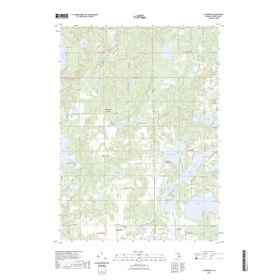
2023 Map of Cloverdale
USGS Topo · Published 2023About this map
Glacial lakes and wetlands define the Barry County landscape around Delton and Prairieville. This survey highlights the complex hydrography of the region, from the large expanse of Gun Lake and Wall Lake to the secluded waters of Snow Lake, Wiley Lake, and Holcomb Lake. The terrain is marked by significant recreational and conservation corridors, including the North Country National Scenic Trl and the Yankee Springs Rec Area - Horse Trl.
Find a feature on this map
128 named features on this map. Tap any name to fly to it.
Don’t see what you’re looking for? This feature index may not catch every label — zoom into the map to look around manually.
Map Details
Editions of this 2023 Cloverdale Map
This is the sole edition of this map. No revisions or reprints were ever made.
Other maps of this area
1916 · Kalamazoo
USGS Topo · 1:62,500
1918 · Kalamazoo
USGS Topo · 1:62,500
1918 · Galesburg
USGS Topo · 1:62,500
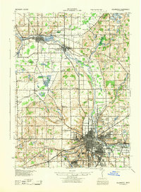
1943 · Kalamazoo
USGS Topo · 1:62,500
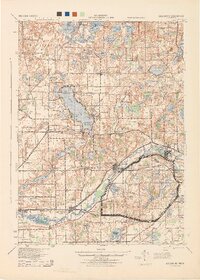
1944 · Galesburg
USGS Topo · 1:62,500
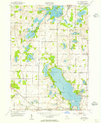
1947 · Delton
USGS Topo · 1:24,000
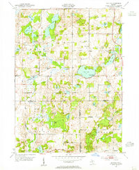
1947 · Banfield
USGS Topo · 1:24,000
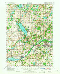
1947 · Galesburg
USGS Topo · 1:62,500
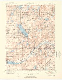
1950 · Galesburg
USGS Topo · 1:62,500
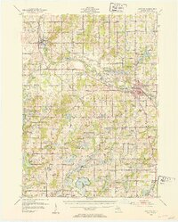
1951 · Hastings
USGS Topo · 1:62,500
Featured Places
- Prairieville, MI
- Yankee Springs Township, MI
- Barry Township, MI
- Orangeville Township, MI
- Rutland Charter Township, MI