Loading...
Loading map...2023 Map of Cloverdale
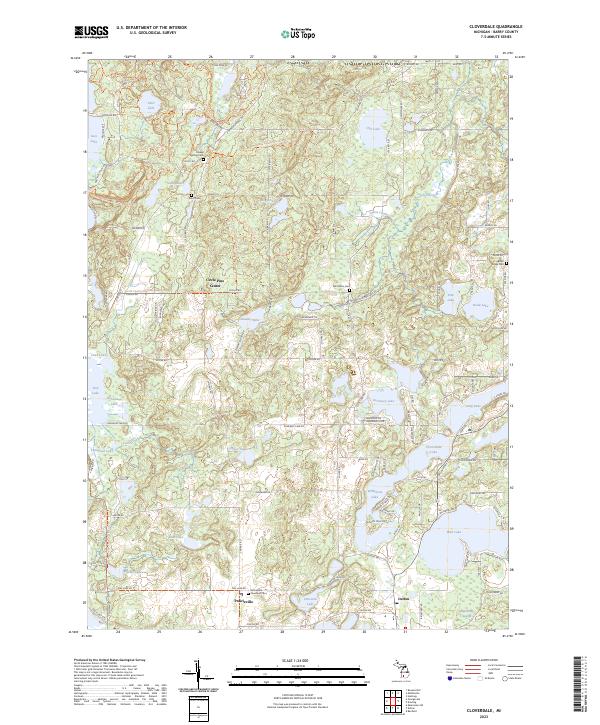
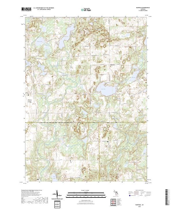
USGS Topo · Published 2023About this map
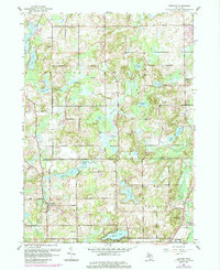
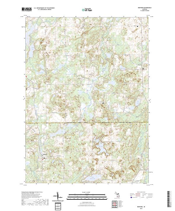
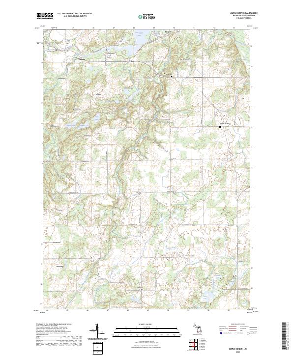
Glacial lakes and wetlands define the Barry County landscape around Delton and Prairieville. This survey highlights the complex hydrography of the region, from the large expanse of Gun Lake and Wall Lake to the secluded waters of Snow Lake, Wiley Lake, and Holcomb Lake. The terrain is marked by significant recreational and conservation corridors, including the North Country National Scenic Trl and the Yankee Springs Rec Area - Horse Trl.
Find a feature on this map
128 named features on this map. Tap any name to fly to it.
Don’t see what you’re looking for? This feature index may not catch every label — zoom into the map to look around manually.
Map Details
Date Portrayed2023
Date Published2023
PublisherU.S. Geological Survey
Map TypeTopographic
Scale1:24000
Physical Dimensions24 x 29 inches
Editions of this 2023 Cloverdale Map
This is the sole edition of this map. No revisions or reprints were ever made.
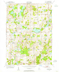
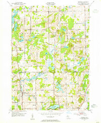
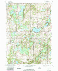
Historical Maps of Circle Pines Center Through Time
10 maps found
Featured Locations
- Yankee Springs Township, MI
- Barry Township, MI
- Orangeville Township, MI
- Rutland Charter Township, MI
- Prairieville, Prairieville Township
Source Details
SourceU.S. Geological Survey
CopyrightPublic Domain