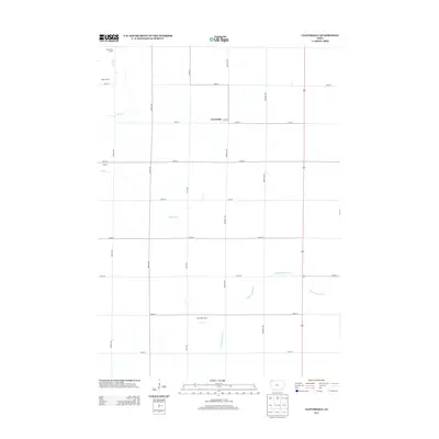
2013 Map of Cloverdale
USGS Topo · Published 2013About this map
Cloverdale and the surrounding agricultural landscape of Osceola County are defined by a precision grid of section-line roads and the wandering paths of the N Fork Floyd River. The area maintains its rural character with small nodes of activity like Gopher and modern agricultural operations including High Plains Dairy and Nustar Farms. These larger farm complexes reflect the evolving scale of Iowa's dairy and agricultural industry in the early 21st century. The natural drainage of the territory is marked by the presence of Otter Cr in the northwest and Kappes Cr through the center, providing a contrast to the geometric layout of 200th St and Redwing Ave. Local industry and utility are evidenced by Leinen Pits Access, showing the continued importance of local resource extraction and land management within this strictly organized prairie topography.
Find a feature on this map
23 named features on this map. Tap any name to fly to it.
Don’t see what you’re looking for? This feature index may not catch every label — zoom into the map to look around manually.
Map Details
Editions of this 2013 Cloverdale Map
This is the sole edition of this map. No revisions or reprints were ever made.
Other maps of this area

1954 · Fairmont
USGS Topo · 1:250,000

1958 · Fairmont
USGS Topo · 1:250,000

1964 · Sheldon
USGS Topo · 1:24,000

1964 · Plessis
USGS Topo · 1:24,000

1964 · Sanborn
USGS Topo · 1:24,000

1972 · Ashton
USGS Topo · 1:24,000

1972 · Ocheyedan
USGS Topo · 1:24,000

1972 · Sibley West
USGS Topo · 1:24,000

1972 · Cloverdale
USGS Topo · 1:24,000
1972 · Sibley East
USGS Topo · 1:24,000