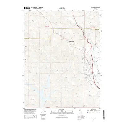
2015 Map of Cloverdale
USGS Topo · Published 2015About this map
The Russian River carves a deep valley through the northern reaches of Sonoma County, defining the corridor where the city of Cloverdale flourished. This 2015 record shows the community's modern residential expansion south of its traditional center, with street names like Chablis Way and Riesling St reflecting the region's agricultural identity. The map captures the meeting of rugged highlands and fertile basins, where Alexander Valley and Oat Valley provide a contrast to the steep elevations of Pritchett Peaks and Red Mtn.
Find a feature on this map
74 named features on this map. Tap any name to fly to it.
Don’t see what you’re looking for? This feature index may not catch every label — zoom into the map to look around manually.
Map Details
Editions of this 2015 Cloverdale Map
This is the sole edition of this map. No revisions or reprints were ever made.
Other maps of this area

1920 · Healdsburg
USGS Topo · 1:62,500

1921 · Skaggs
USGS Topo · 1:62,500

1921 · Kelseyville
USGS Topo · 1:62,500

1933 · Healdsburg
USGS Topo · 1:48,000

1938 · Hopland
USGS Topo · 1:62,500

1940 · Healdsburg
USGS Topo · 1:62,500

1943 · Tombs Creek
USGS Topo · 1:24,000

1943 · Skaggs Springs
USGS Topo · 1:24,000

1943 · Kelseyville
USGS Topo · 1:62,500

1943 · Hopland
USGS Topo · 1:62,500