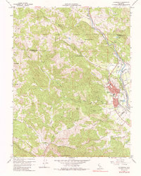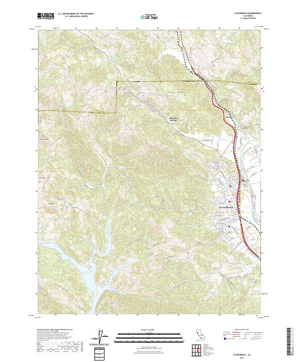
2021 Map of Cloverdale
USGS Topo · Published 2021About this map
The city of Cloverdale serves as the focal point for this Northern Sonoma County landscape, situated where the Russian River flows southward through the valley. The map documents a complex network of local roads and suburban expansion, including N Cloverdale Blvd and residential developments near the Cloverdale Cem. Beyond the city limits, the terrain rises sharply into the Coast Ranges, featuring prominent heights like Red Mtn and Morris Peak to the west, while Redwood Mtn stands to the north.
Find a feature on this map
83 named features on this map. Tap any name to fly to it.
Don’t see what you’re looking for? This feature index may not catch every label — zoom into the map to look around manually.
Map Details
Editions of this 2021 Cloverdale Map
This is the sole edition of this map. No revisions or reprints were ever made.
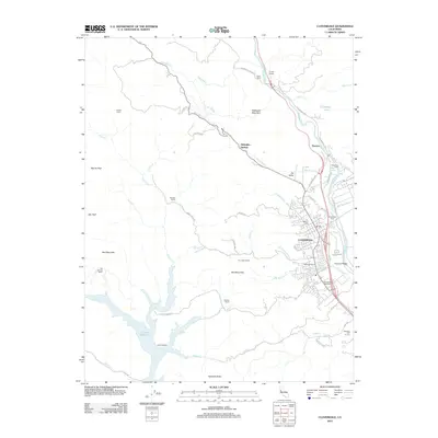
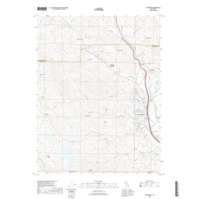
Historical Maps of Cloverdale Through Time
5 maps found