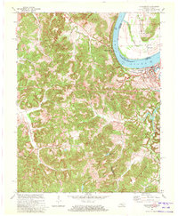
1970 Map of Cloverport
USGS Topo · Published 1972About this map
The Ohio River carves a dramatic bend through this landscape, separating Tobinsport on the Indiana bank from the rail-line community of Cloverport in Kentucky. The topography is defined by sharp ridges like Mullens Ridge and Tuckers Ridge, which hem in the numerous small drainages such as Blackford Creek and Caney Creek. This 1970 revision provides a detailed view of the rural settlement patterns along the Hancock and Breckinridge county lines, where small crossroads like Arrington Corner and Sunny Corner persist alongside family-named landmarks. The presence of Oil Wells and a Strip Mine south of Patesville indicates the industrial footprint of the era, while spiritual and community centers are represented by Bethlehem Ch and Harris Memorial Cem. This survey illustrates the contrast between the flat, fertile river bottomland of Tobin and the deeply dissected hills to the south and west.
Find a feature on this map
37 named features on this map. Tap any name to fly to it.
Don’t see what you’re looking for? This feature index may not catch every label — zoom into the map to look around manually.
Map Details
Editions of this 1970 Cloverport Map
2 editions found
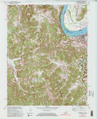
Other maps of this area

1903 · Tell City
USGS Topo · 1:62,500

1907 · Whitesville
USGS Topo · 1:62,500

1909 · Whitesville
USGS Topo · 1:62,500

1932 · Fordsville
USGS Topo · 1:62,500

1934 · Cannelton
USGS Topo · 1:62,500

1949 · Cannelton
USGS Topo · 1:24,000

1953 · Cannelton
USGS Topo · 1:24,000

1953 · Cloverport
USGS Topo · 1:24,000

1953 · Whitesville
USGS Topo · 1:24,000

1953 · Tell City
USGS Topo · 1:24,000