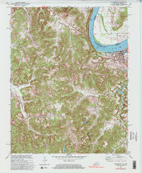
1970 Map of Cloverport
USGS Topo · Published 1983About this map
The Ohio River acts as the primary geographic corridor on this sheet, defining the border between Indiana and Kentucky. The town of Cloverport stands as the regional hub on the Kentucky shore, where the Louisville and Nashville railroad runs parallel to the water's edge, reflecting the importance of both rail and river transport to the local economy. Across the river in Indiana, Tobinsport anchors the northern bank near the Harris Memorial Cem. Moving inland, the landscape transitions into a series of high ridges, such as Buckeye Ridge and Mullens Ridge, which are dissected by numerous waterways including Poison Creek and Blackford Creek. This 1970 revision shows a rural interior punctuated by small crossroads like Patesville and Arrington Corner, as well as industrial indicators like an active Strip Mine and scattered Oil Wells.
Find a feature on this map
34 named features on this map. Tap any name to fly to it.
Don’t see what you’re looking for? This feature index may not catch every label — zoom into the map to look around manually.
Map Details
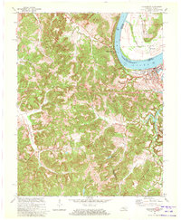
Editions of this 1970 Cloverport Map
2 editions found
Other maps of this area

1903 · Tell City
USGS Topo · 1:62,500

1907 · Whitesville
USGS Topo · 1:62,500

1909 · Whitesville
USGS Topo · 1:62,500

1932 · Fordsville
USGS Topo · 1:62,500

1934 · Cannelton
USGS Topo · 1:62,500

1949 · Cannelton
USGS Topo · 1:24,000

1953 · Cannelton
USGS Topo · 1:24,000

1953 · Cloverport
USGS Topo · 1:24,000

1953 · Whitesville
USGS Topo · 1:24,000

1953 · Tell City
USGS Topo · 1:24,000