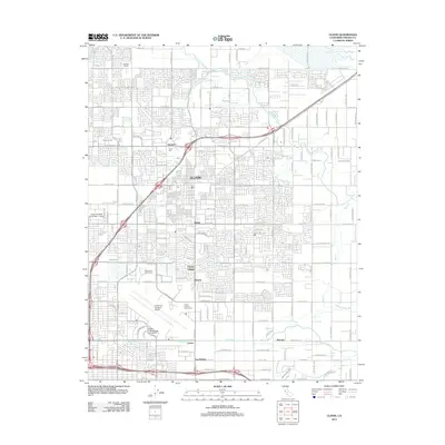
2012 Map of Clovis
USGS Topo · Published 2012About this map
The city of Clovis is shown at a point of significant suburban expansion, where the grid of residential neighborhoods meets an intricate network of irrigation and drainage. The landscape is defined by the Enterprise Canal, Mill Ditch, and Fancher Cr Canal, which provide a contrast to the dense network of roadways like Tollhouse Rd and Herndon Ave. These water systems, alongside natural features like Redbank Slough and Dry Creek, underscore the Central Valley's history of water management supporting both early agriculture and modern development.
Find a feature on this map
68 named features on this map. Tap any name to fly to it.
Don’t see what you’re looking for? This feature index may not catch every label — zoom into the map to look around manually.
Map Details
Editions of this 2012 Clovis Map
This is the sole edition of this map. No revisions or reprints were ever made.
Other maps of this area

1921 · Bullard
USGS Topo · 1:31,680

1922 · Round Mountain
USGS Topo · 1:31,680

1922 · Lanes Bridge
USGS Topo · 1:31,680

1922 · Friant
USGS Topo · 1:31,680

1923 · Malaga
USGS Topo · 1:31,680

1923 · Academy
USGS Topo · 1:31,680

1923 · Fresno
USGS Topo · 1:31,680

1923 · Clovis
USGS Topo · 1:31,680

1923 · Sanger
USGS Topo · 1:31,680

1923 · Bullard
USGS Topo · 1:31,680