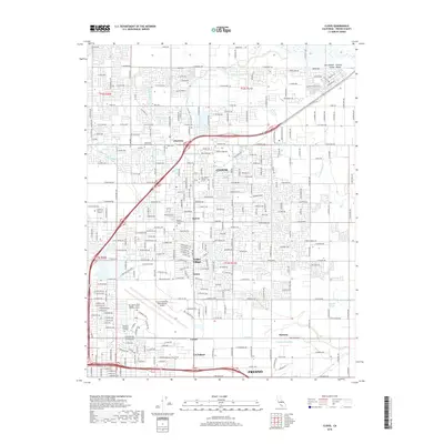
2018 Map of Clovis
USGS Topo · Published 2018About this map
Clovis serves as the central hub of this 2018 survey, illustrating the significant residential and educational expansion in the northeast Fresno area. The map documents an intricate network of irrigation and water management essential to the San Joaquin Valley, including the Enterprise Canal, Helm Canal, and the Temperance Ditch. Educational institutions are prominent, with the California State University Fresno campus and the San Joaquin Valley College Fresno Aviation Campus situated near the Fresno Yosemite International Airport. Smaller residential enclaves like Glorietta, Melvin, and Tarpey Village are clearly defined amidst a dense grid of named avenues and roads such as Tollhouse Road. The eastern portion of the map transitions toward more open terrain near Redbank Slough and Dog Creek, while the Clovis Cemetery stands as a notable landmark for local history and genealogical research.
Find a feature on this map
165 named features on this map. Tap any name to fly to it.
Don’t see what you’re looking for? This feature index may not catch every label — zoom into the map to look around manually.
Map Details
Editions of this 2018 Clovis Map
This is the sole edition of this map. No revisions or reprints were ever made.
Other maps of this area

1921 · Bullard
USGS Topo · 1:31,680

1922 · Round Mountain
USGS Topo · 1:31,680

1922 · Lanes Bridge
USGS Topo · 1:31,680

1922 · Friant
USGS Topo · 1:31,680

1923 · Malaga
USGS Topo · 1:31,680

1923 · Academy
USGS Topo · 1:31,680

1923 · Fresno
USGS Topo · 1:31,680

1923 · Clovis
USGS Topo · 1:31,680

1923 · Sanger
USGS Topo · 1:31,680

1923 · Bullard
USGS Topo · 1:31,680