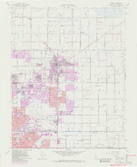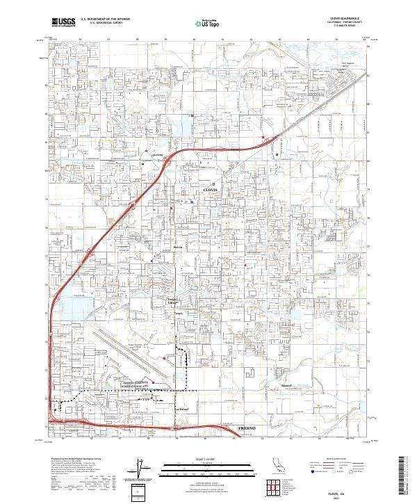
2021 Map of Clovis
USGS Topo · Published 2021About this map
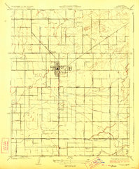
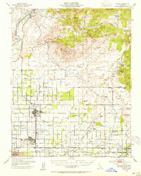
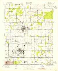
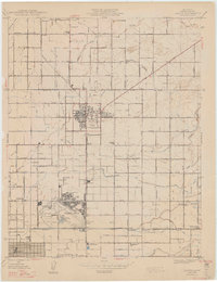
Clovis serves as the central hub of this contemporary survey, reflecting the intensive residential and agricultural development of the San Joaquin Valley. The landscape is defined by an intricate network of irrigation systems including the Enterprise Canal, Helm Canal, and Mill Ditch, which underscore the region's historic reliance on water management for its fertile orchards and fields. To the west, the campus of California State University - Fresno and the sprawling grounds of the Fresno Yosemite International Airport indicate the modern expansion of Fresno northward. Scattered throughout the quadrangle are smaller settlements and established neighborhoods like Tarpey Village, Glorietta, and Las Palmas. Local history is preserved in landmarks such as the Clovis Cem and the Wawona Ranch, while the dense grid of residential streets shows the ongoing transition of rural lands into suburban communities.
Find a feature on this map
165 named features on this map. Tap any name to fly to it.
Don’t see what you’re looking for? This feature index may not catch every label — zoom into the map to look around manually.
Map Details
Editions of this 2021 Clovis Map
This is the sole edition of this map. No revisions or reprints were ever made.
Historical Maps of Fresno County Sheriffs Office Through Time
6 maps found