Loading...
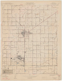
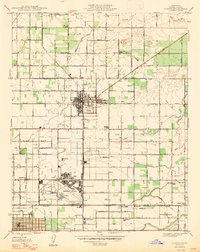
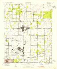
Loading map...1947 Map of Clovis
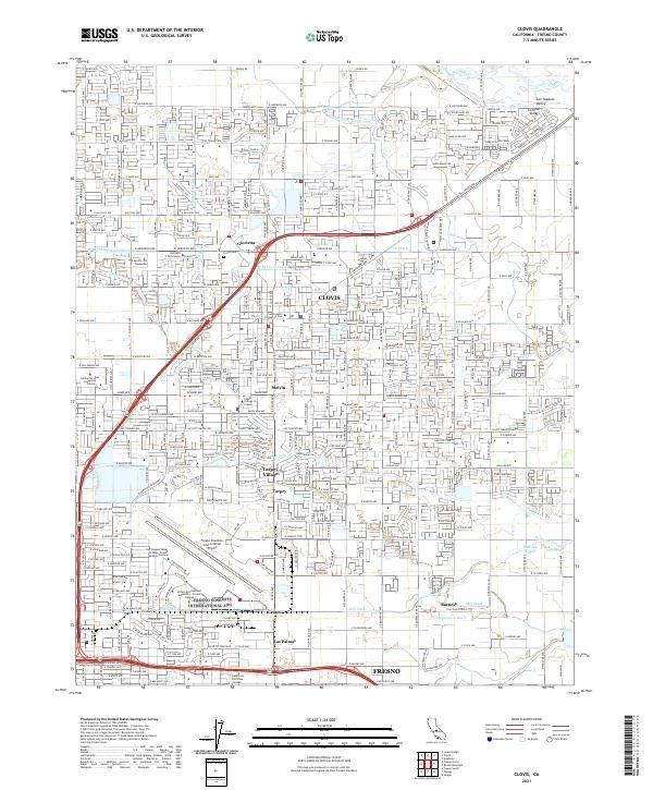
USGS Topo · Published 1947About this map
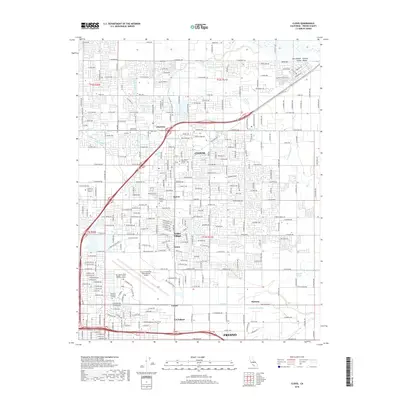
Clovis serves as the focal point of this agricultural landscape just after the Second World War, during a period when the irrigation network was the lifeblood of Fresno County. The map details a sophisticated grid of canals and ditches, including the Enterprise Canal, Gould Canal, and Fresno Canal, which transformed the arid valley into a productive region. To the southwest, the expansive grounds of Hammer Field stand as a major military and aviation landmark, complete with its own sewage disposal facilities and a distinct rail spur.
Find a feature on this map
52 named features on this map. Tap any name to fly to it.
Don’t see what you’re looking for? This feature index may not catch every label — zoom into the map to look around manually.
Map Details
Date Portrayed1947
Date Published1947
PublisherU.S. Geological Survey
Map TypeTopographic
Scale1:24,000
Physical Dimensions20.6 x 26.8 inches
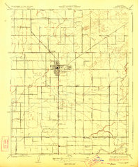
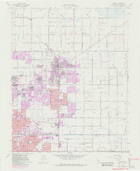
Editions of this 1947 Clovis Map
2 editions found
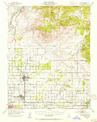
Historical Maps of Fresno Through Time
9 maps found
Featured Locations
Source Details
SourceU.S. Geological Survey
CopyrightPublic Domain