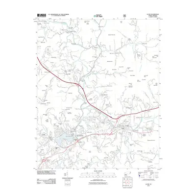
2011 Map of Clyde
USGS Topo · Published 2011About this map
Lake Junaluska and its namesake community serve as a central landmark for this part of Haywood County, where the Richland Creek valley meets the Pigeon River. The town of Clyde is prominently featured along the riverbanks, showing a dense network of local roads and established neighborhoods like Tuscola Park and Fairway Hills. Numerous family cemeteries, such as Yarbrough Cemetery, Medford Cemetery, and Ratcliffe Cove Cemetery, are scattered across the valley floors and lower slopes, providing a detailed record of the area's genealogical footprint.
Find a feature on this map
126 named features on this map. Tap any name to fly to it.
Don’t see what you’re looking for? This feature index may not catch every label — zoom into the map to look around manually.
Map Details
Editions of this 2011 Clyde Map
This is the sole edition of this map. No revisions or reprints were ever made.
Other maps of this area

1891 · Cowee
USGS Topo · 1:125,000

1893 · Mt Guyot
USGS Topo · 1:125,000

1894 · Asheville
USGS Topo · 1:125,000

1897 · Cowee
USGS Topo · 1:125,000

1901 · Asheville
USGS Topo · 1:125,000

1905 · Pisgah
USGS Topo · 1:125,000

1906 · Pisgah
USGS Topo · 1:125,000

1907 · Cowee
USGS Topo · 1:125,000

1912 · Mt Guyot
USGS Topo · 1:125,000

1935 · Cruso
USGS Topo · 1:24,000