2022 Map of Clyde
USGS Topo · Published 2022About this map
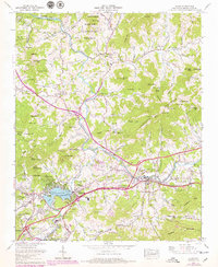
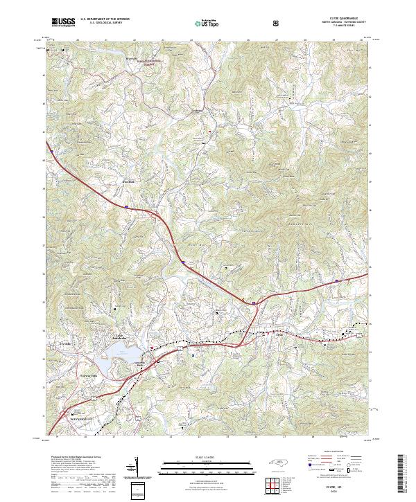
The Pigeon River flows through the heart of this landscape, carving a valley where the towns of Clyde and Waynesville developed alongside the Southern Railway. To the west, the waters of Lake Junaluska serve as a focal point for the community, surrounded by residential developments like Fairway Hills and Ivy Hills. The map details a transition from the industrial and educational hub at Haywood Community College to the higher elevations of the Pisgah National Forest in the north.
Find a feature on this map
89 named features on this map. Tap any name to fly to it.
Don’t see what you’re looking for? This feature index may not catch every label — zoom into the map to look around manually.
Map Details
Editions of this 2022 Clyde Map
This is the sole edition of this map. No revisions or reprints were ever made.
Historical Maps of Ivy Hills Through Time
5 maps found