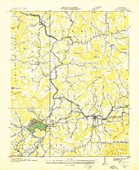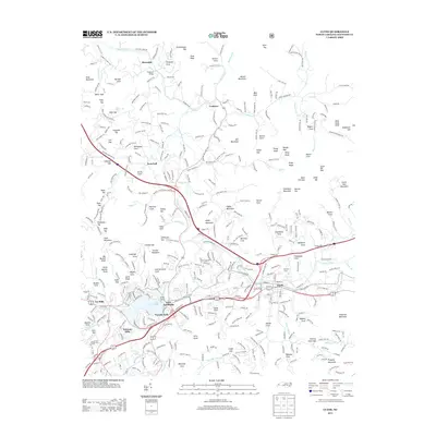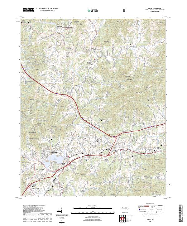
1942 Map of Clyde
USGS Topo · Published 1942About this map
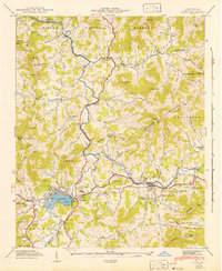
Pigeon River carves a winding course through this Haywood County landscape, serving as the central artery for a region defined by narrow coves and mountain ridges. The southern portion of the map is anchored by the community of Junaluska and the waters of Lake Junaluska, which by the early 1940s had become a primary focal point for the area. Transport and industry follow the water, with the Southern Railway tracing the river valley and connecting the town of Clyde to the wider region.
Find a feature on this map
87 named features on this map. Tap any name to fly to it.
Don’t see what you’re looking for? This feature index may not catch every label — zoom into the map to look around manually.
Map Details
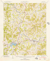
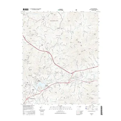
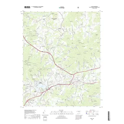
Editions of this 1942 Clyde Map
This is the sole edition of this map. No revisions or reprints were ever made.
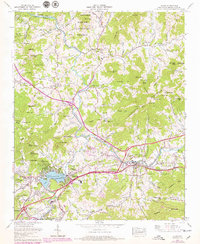
Historical Maps of Waynesville Through Time
9 maps found