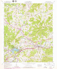
1967 Map of Clyde
USGS Topo · Published 1979About this map
The Pigeon River flows through the heart of this North Carolina mountain landscape, serving as the corridor for the Southern railroad and connecting the communities of Clyde and Lake Junaluska. The 1970s updates to this survey highlight the area's development, including the expansion of Tuscola High Sch and the winding residential layouts around the lake. The map is dense with family-named mountain features and local institutions, from the Crabtree-Iron Duff High Sch to numerous rural cemeteries like Bon-A-Venture Cem. The geography transitions from the managed boundaries of the Pisgah National Forest to active valley life, where recreation and community life are marked by the Skyland Camp (Girls) and a local golf course. Small settlements like Crabtree and Ferguson are anchored by landmarks such as Mt Zion Church and Fincher Chapel, reflecting the deep-rooted social fabric of Haywood County.
Find a feature on this map
116 named features on this map. Tap any name to fly to it.
Don’t see what you’re looking for? This feature index may not catch every label — zoom into the map to look around manually.
Map Details
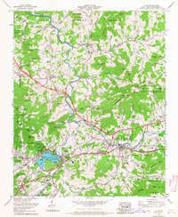
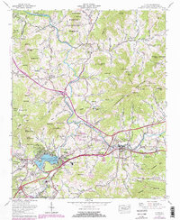
Editions of this 1967 Clyde Map
3 editions found
Other maps of this area

1891 · Cowee
USGS Topo · 1:125,000

1893 · Mt Guyot
USGS Topo · 1:125,000

1894 · Asheville
USGS Topo · 1:125,000

1897 · Cowee
USGS Topo · 1:125,000

1901 · Asheville
USGS Topo · 1:125,000

1905 · Pisgah
USGS Topo · 1:125,000

1906 · Pisgah
USGS Topo · 1:125,000

1907 · Cowee
USGS Topo · 1:125,000

1912 · Mt Guyot
USGS Topo · 1:125,000

1935 · Cruso
USGS Topo · 1:24,000