1993 Map of Coal Hill
USGS Topo · Published 1993About this map
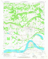
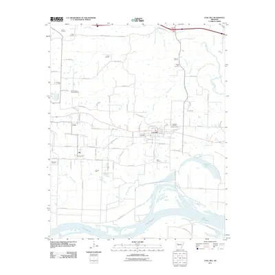
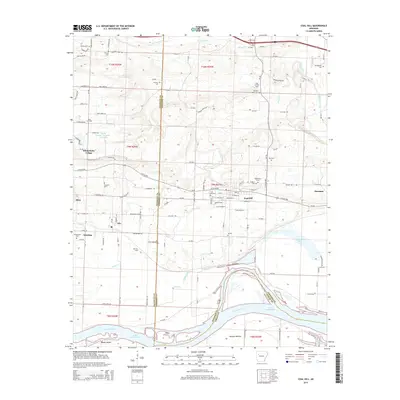
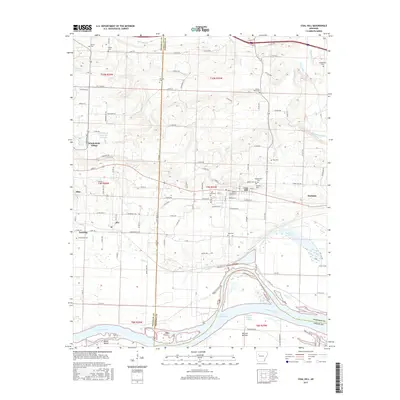
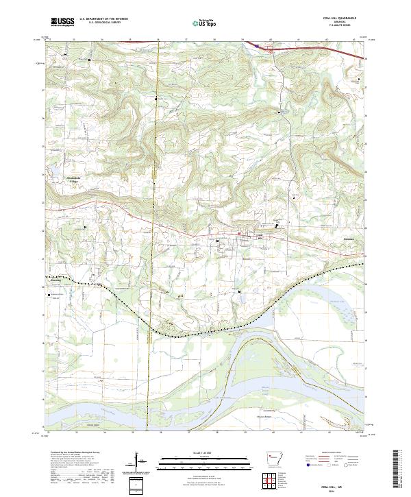
Coal Hill and its surrounding communities in Johnson and Franklin counties sit at the northern edge of the Arkansas River valley, where the landscape is defined by the legacy of industrial extraction and river management. Extensive Strip Mine operations mark the terrain between the town and the water, showing the scale of surface mining in the region. Near the river, the landscape transitions into the wide, low-lying McLean Bottom and Okane Island, landforms shaped by the flow of the Arkansas River and the creation of Dardanelle Lake.
Find a feature on this map
40 named features on this map. Tap any name to fly to it.
Don’t see what you’re looking for? This feature index may not catch every label — zoom into the map to look around manually.
Map Details
Editions of this 1993 Coal Hill Map
This is the sole edition of this map. No revisions or reprints were ever made.
Historical Maps of Coal Hill Through Time
7 maps found