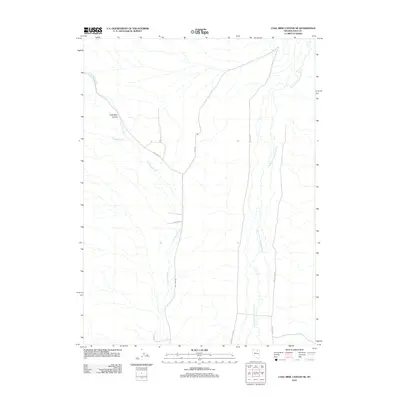
2012 Map of Coal Mine Canyon SE
USGS Topo · Published 2012About this map
The North Fork Humboldt River meanders through this high desert terrain in Elko County, marking a vital water source in an otherwise arid landscape. Much of the western topography is defined by Coal Mine Canyon, where Coal Mine Creek and Twelvemile Creek carve through the basin. Human activity in the area is largely centered around a network of local roads including Coal Mine Rd and Ryndon, which connect scattered homesteads or ranching outposts. The presence of Old Devils Gate Rd alongside the newer Devils Gate Rd indicates the evolution of travel routes through this portion of Nevada, while labels like El Burz Rd and Glaspie Dr offer specific points of interest for genealogists and local historians researching family land use and settlement patterns in the early 21st century.
Find a feature on this map
11 named features on this map. Tap any name to fly to it.
Don’t see what you’re looking for? This feature index may not catch every label — zoom into the map to look around manually.
Map Details
Editions of this 2012 Coal Mine Canyon SE Map
This is the sole edition of this map. No revisions or reprints were ever made.
Other maps of this area

1935 · Halleck
USGS Topo · 1:125,000

1955 · Wells
USGS Topo · 1:250,000

1955 · Elko
USGS Topo · 1:250,000

1958 · Wells
USGS Topo · 1:250,000

1958 · Elko
USGS Topo · 1:250,000

1961 · Wells
USGS Topo · 1:250,000

1962 · Elko
USGS Topo · 1:250,000

1962 · Ryndon
USGS Topo · 1:24,000

1962 · Osino
USGS Topo · 1:24,000

1965 · Elko
USGS Topo · 1:250,000