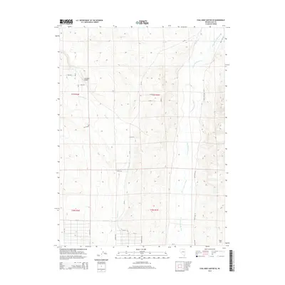
2014 Map of Coal Mine Canyon SE
USGS Topo · Published 2014About this map
N Fork Humboldt River meanders through the eastern portion of this Elko County landscape, a vital water source in the high desert terrain. The area is defined by the significant topographic relief of Coal Mine Canyon, where drainage flows into Coal Mine Cr and Twelvemile Cr. The map shows a developing grid of rural residential roads in the northwest, including Koral Ave and Ash St, contrasting with the more open range land to the south and east. To the southeast, the Peko Hills rise above the river valley, while a network of county routes like CR-742 and Devils Gate RD provide the primary access through the sagebrush-covered hills. This 2014 survey captures the intersection of traditional ranching geography with more recent subdividing of land near the river.
Find a feature on this map
29 named features on this map. Tap any name to fly to it.
Don’t see what you’re looking for? This feature index may not catch every label — zoom into the map to look around manually.
Map Details
Editions of this 2014 Coal Mine Canyon SE Map
This is the sole edition of this map. No revisions or reprints were ever made.
Other maps of this area

1935 · Halleck
USGS Topo · 1:125,000

1955 · Wells
USGS Topo · 1:250,000

1955 · Elko
USGS Topo · 1:250,000

1958 · Wells
USGS Topo · 1:250,000

1958 · Elko
USGS Topo · 1:250,000

1961 · Wells
USGS Topo · 1:250,000

1962 · Elko
USGS Topo · 1:250,000

1962 · Ryndon
USGS Topo · 1:24,000

1962 · Osino
USGS Topo · 1:24,000

1965 · Elko
USGS Topo · 1:250,000