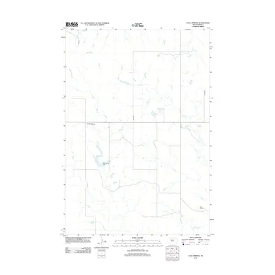
2012 Map of Coal Springs
USGS Topo · Published 2012About this map
Coal Springs anchors this high plains landscape in Perkins County, centered on a rural network of section-line roads such as 198th Ave and 200th Ave. The terrain is defined by the intermittent drainage of Line Cr and Darling Cr, which carve subtle paths through the prairie towards the Coal Springs Dam. This 2012 survey illustrates the sparse, functional layout of the modern West, where infrastructure like the Dunn Airstrip serves remote ranching interests far from major urban centers. The grid of gravel roads, including 191st St, emphasizes the structured land division that has persisted since early settlement, providing a clear record of the area's contemporary geography and water management systems.
Find a feature on this map
9 named features on this map. Tap any name to fly to it.
Don’t see what you’re looking for? This feature index may not catch every label — zoom into the map to look around manually.
Map Details
Editions of this 2012 Coal Springs Map
This is the sole edition of this map. No revisions or reprints were ever made.
Other maps of this area

1953 · McIntosh
USGS Topo · 1:250,000

1954 · Lemmon
USGS Topo · 1:250,000

1957 · Lemmon
USGS Topo · 1:250,000

1958 · McIntosh
USGS Topo · 1:250,000

1972 · Black Horse Butte
USGS Topo · 1:24,000

1980 · McIntosh
USGS Topo · 1:100,000

1982 · Glad Valley SW
USGS Topo · 1:24,000

1982 · Glad Valley NW
USGS Topo · 1:24,000

1983 · Coal Springs
USGS Topo · 1:24,000

1983 · Meadow
USGS Topo · 1:24,000