
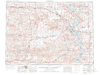
1980 Map of McIntosh
USGS Topo · Published 1981About this map
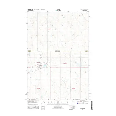
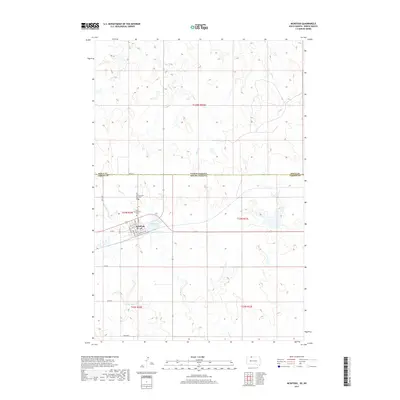
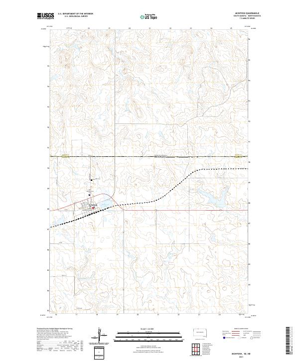
McIntosh sits near the northern boundary of the Standing Rock Indian Reservation, serving as a central hub for the prairie landscape of Corson County during the early 1980s. The northern corridor of the map follows the Chicago Milwaukee St Paul and Pacific railroad, which connects a string of small settlements including Morristown, Watauga, Keldron, and Thunder Hawk. This rail-aligned settlement pattern reflects the traditional grain-hauling infrastructure of the Great Plains, where towns were established at regular intervals to support local agricultural transport.
Find a feature on this map
38 named features on this map. Tap any name to fly to it.
Don’t see what you’re looking for? This feature index may not catch every label — zoom into the map to look around manually.
Map Details
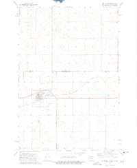
Editions of this 1980 McIntosh Map
This is the sole edition of this map. No revisions or reprints were ever made.
Historical Maps of McIntosh Through Time
9 maps found

Featured Locations
- Porcupine District, ND
- McIntosh, Rock Creek District
- Morristown, Rock Creek District
- Watauga, Rock Creek District
- Athboy, Rock Creek District