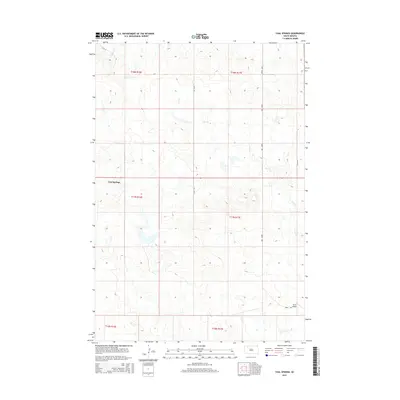
2015 Map of Coal Springs
USGS Topo · Published 2015About this map
Coal Springs sits at the heart of this Perkins County landscape, serving as a focal point for the surrounding prairie. The terrain is defined by the winding paths of Line Cr and Darling Cr, which carve through the open country. A sparse but intentional road network, including 131st St and 198th Ave, connects the scattered homesteads and ranches that characterize this part of South Dakota. The presence of Dunn Airport in the southeastern portion of the quadrangle indicates the importance of aerial access in this expansive environment. This survey captures a moment in the modern era where traditional land divisions, marked by various township and range boundaries like t17n r16e, continue to organize the rural life and geography of the High Plains.
Find a feature on this map
14 named features on this map. Tap any name to fly to it.
Don’t see what you’re looking for? This feature index may not catch every label — zoom into the map to look around manually.
Map Details
Editions of this 2015 Coal Springs Map
This is the sole edition of this map. No revisions or reprints were ever made.
Other maps of this area

1953 · McIntosh
USGS Topo · 1:250,000

1954 · Lemmon
USGS Topo · 1:250,000

1957 · Lemmon
USGS Topo · 1:250,000

1958 · McIntosh
USGS Topo · 1:250,000

1972 · Black Horse Butte
USGS Topo · 1:24,000

1980 · McIntosh
USGS Topo · 1:100,000

1982 · Glad Valley SW
USGS Topo · 1:24,000

1982 · Glad Valley NW
USGS Topo · 1:24,000

1983 · Coal Springs
USGS Topo · 1:24,000

1983 · Meadow
USGS Topo · 1:24,000