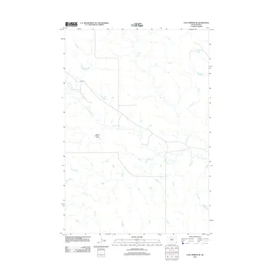
2012 Map of Coal Springs SE
USGS Topo · Published 2012About this map
Thunder Butte Cr meanders across this northern Ziebach County landscape, carving a network of drainage patterns through the prairie. The terrain is defined by its subtle hydraulic features, including the elongated School Section Draw and Berry Cr, which characterize this portion of the Cheyenne River watershed. Human presence is sparse, primarily represented by the remote corridor of Foster Rd cutting through the western section. This survey captures the rural character of South Dakota's open range, where the arrangement of watercourses and draws dictated the path of local infrastructure and early land use. It is an essential document for understanding the physical geography of the Coal Springs region in the early twenty-first century.
Find a feature on this map
4 named features on this map. Tap any name to fly to it.
Don’t see what you’re looking for? This feature index may not catch every label — zoom into the map to look around manually.
Map Details
Editions of this 2012 Coal Springs SE Map
This is the sole edition of this map. No revisions or reprints were ever made.
Other maps of this area

1951 · Redelm NW
USGS Topo · 1:24,000

1951 · Faith NE
USGS Topo · 1:24,000

1952 · Faith NW
USGS Topo · 1:24,000

1953 · McIntosh
USGS Topo · 1:250,000

1954 · Lemmon
USGS Topo · 1:250,000

1957 · Lemmon
USGS Topo · 1:250,000

1958 · McIntosh
USGS Topo · 1:250,000

1982 · Glad Valley SW
USGS Topo · 1:24,000

1982 · Glad Valley NW
USGS Topo · 1:24,000

1983 · Coal Springs
USGS Topo · 1:24,000