
1951 Map of Redelm NW
USGS Topo · Published 1953About this map
The Cheyenne River Indian Reservation dominates this landscape along the border of Ziebach and Perkins counties, centered on the winding course of the Moreau River. This 1951 survey reveals a remote prairie environment where water sources and modest landmarks define the layout of the land. Evidence of early rural education appears at the Junker Sch (Abandoned), which stands as a silent indicator of shifting settlement patterns in the mid-twentieth century. The intricate drainage network includes Flint Rock Creek, Rock Creek, and Knocker Creek, while the presence of Sand Draw highlights the erosion-carved topography characteristic of the northern plains. This map was produced as part of the Department of the Interior program for the development of the Missouri River Basin, documenting the geography of the region during a period of planned federal investment.
Find a feature on this map
9 named features on this map. Tap any name to fly to it.
Don’t see what you’re looking for? This feature index may not catch every label — zoom into the map to look around manually.
Map Details
Editions of this 1951 Redelm NW Map
This is the sole edition of this map. No revisions or reprints were ever made.
Other maps of this area

1951 · Redelm NE
USGS Topo · 1:24,000

1951 · Faith NE
USGS Topo · 1:24,000

1953 · McIntosh
USGS Topo · 1:250,000

1954 · Lemmon
USGS Topo · 1:250,000

1957 · Lemmon
USGS Topo · 1:250,000

1958 · McIntosh
USGS Topo · 1:250,000

1982 · Glad Valley SW
USGS Topo · 1:24,000
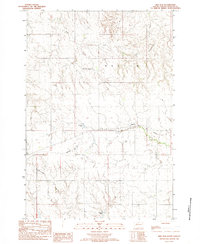
1982 · Red Elm
USGS Topo · 1:24,000

1982 · Glad Valley SE
USGS Topo · 1:24,000
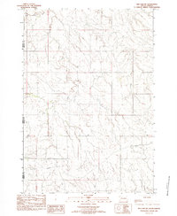
1982 · Red Elm SW
USGS Topo · 1:24,000