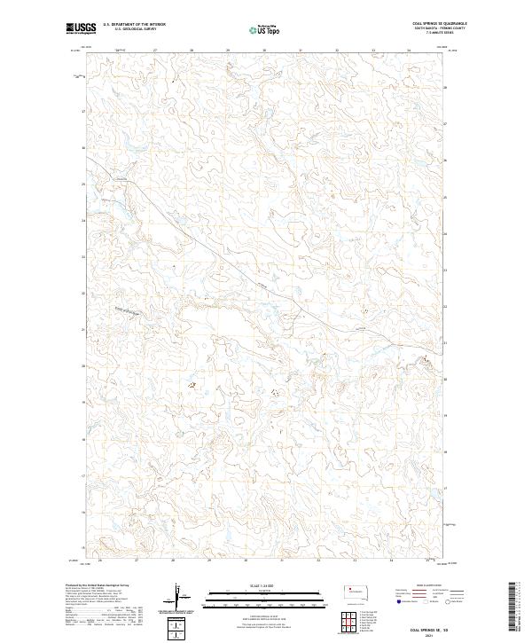
2021 Map of Coal Springs SE
USGS Topo · Published 2021About this map
Thunder Butte Cr and its various tributaries define the drainage patterns of this Perkins County landscape, which remains largely characterized by open range and intermittent watercourses. In the northwestern corner, School Section Draw marks a notable topographic depression, likely named during the early land surveying and settlement period when certain sections were set aside for public education funding. Human infrastructure is limited to the thin line of Foster Rd, which cuts across the central portion of the quadrangle, and Berry Cr in the southwest. This 2021 survey illustrates the enduring rural character of the Great Plains, where the Public Land Survey System grid—divided here into townships such as t16n r16e and t16n r17e—remains the primary organizational structure for land use and navigation.
Find a feature on this map
8 named features on this map. Tap any name to fly to it.
Don’t see what you’re looking for? This feature index may not catch every label — zoom into the map to look around manually.
Map Details
Editions of this 2021 Coal Springs SE Map
This is the sole edition of this map. No revisions or reprints were ever made.
Other maps of this area

1951 · Redelm NW
USGS Topo · 1:24,000

1951 · Faith NE
USGS Topo · 1:24,000

1952 · Faith NW
USGS Topo · 1:24,000

1953 · McIntosh
USGS Topo · 1:250,000

1954 · Lemmon
USGS Topo · 1:250,000

1957 · Lemmon
USGS Topo · 1:250,000

1958 · McIntosh
USGS Topo · 1:250,000

1982 · Glad Valley SW
USGS Topo · 1:24,000

1982 · Glad Valley NW
USGS Topo · 1:24,000

1983 · Coal Springs
USGS Topo · 1:24,000