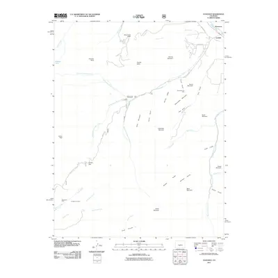
2011 Map of Coaldale
USGS Topo · Published 2011About this map
Coaldale and the nearby settlement of Pleasanton occupy the northeastern corner of this landscape where the Arkansas River cuts through the high country. The area is defined by a dense network of mountain drainages, including Hayden Creek, Stout Creek, and Big Cottonwood Creek, which have carved deep gulches and canyons through the Sangre de Cristo range. Mineral extraction and high-altitude exploration are evident through features like the Round Mountain Mine, the Mockingbird Claim, and the No Name Lead Mine, which are situated among prominent peaks such as Hamilton Baldy and Nipple Mountain.
Find a feature on this map
52 named features on this map. Tap any name to fly to it.
Don’t see what you’re looking for? This feature index may not catch every label — zoom into the map to look around manually.
Map Details
Editions of this 2011 Coaldale Map
This is the sole edition of this map. No revisions or reprints were ever made.
Other maps of this area

1950 · Valley View Hot Springs
USGS Topo · 1:24,000

1954 · Pueblo
USGS Topo · 1:250,000

1957 · Pueblo
USGS Topo · 1:250,000

1958 · Pueblo
USGS Topo · 1:250,000

1959 · Electric Peak
USGS Topo · 1:62,500

1959 · Howard
USGS Topo · 1:62,500

1959 · Cotopaxi
USGS Topo · 1:62,500

1962 · Pueblo
USGS Topo · 1:250,000

1966 · Pueblo
USGS Topo · 1:250,000
1967 · Valley View Hot Springs
USGS Topo · 1:24,000