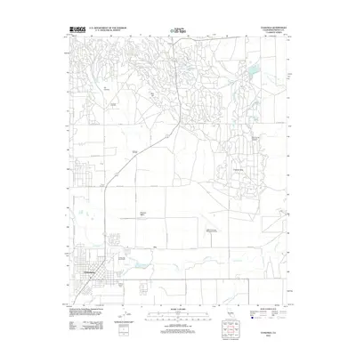
2012 Map of Coalinga
USGS Topo · Published 2012About this map
Coalinga serves as the primary hub in this West Side landscape, where the town's grid meets the expansive industrial footprints of the Coalinga Oil Field and the East Coalinga Extension Oil Field. The geography is defined by the transition from the flat agricultural expanses of Pleasant Valley to the intricate network of service roads and well sites winding through the northern hills. Watercourses like Los Gatos Cr and Wartham Cr cut through the terrain, providing natural landmarks amidst the heavy extraction infrastructure. Further north, the settlement of Oilfields and the Coalinga Feed Yard illustrate the area's dual economic foundations of energy and agriculture. Local history is grounded in specific sites such as the Warthan Canyon Cem and the College-High School Farm, which alongside the New Coalinga Municipal Airport, mark the community's development into the early 21st century.
Find a feature on this map
39 named features on this map. Tap any name to fly to it.
Don’t see what you’re looking for? This feature index may not catch every label — zoom into the map to look around manually.
Map Details
Editions of this 2012 Coalinga Map
This is the sole edition of this map. No revisions or reprints were ever made.
Other maps of this area

1912 · Coalinga
USGS Topo · 1:125,000

1928 · Delta Farms No 3
USGS Topo · 1:31,680

1930 · Canoas Creek
USGS Topo · 1:31,680

1932 · Delta Farms
USGS Topo · 1:31,680

1933 · Guijarral Hills
USGS Topo · 1:31,680

1934 · Canoas Creek
USGS Topo · 1:31,680

1936 · Kreyenhagen Hills
USGS Topo · 1:31,680
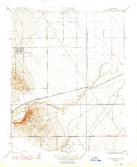
1936 · Guijarral Hills
USGS Topo · 1:31,680
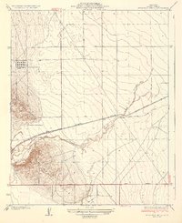
1937 · Guijarral Hills
USGS Topo · 1:31,680
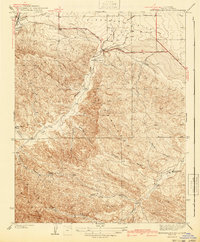
1941 · Kreyenhagen Hills
USGS Topo · 1:31,680