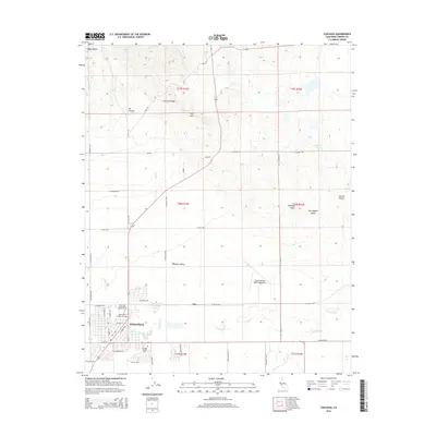
2015 Map of Coalinga
USGS Topo · Published 2015About this map
Coalinga sits at the western edge of the San Joaquin Valley, where the alluvial plains of Pleasant Valley meet the rising slopes of the Diablo Range. This landscape is defined by its drainage systems and petroleum history, with Oil Cr winding through Oil Canyon north of the city. The town's layout reflects a transition from the grid of the central valley to the irregular terrain of Anticline Ridge and W K Hill. Local institutions like West Hills College-Coalinga and the New Coalinga Municipal Airport anchor the southern part of the quadrangle. Significant watercourses, including Warthan Cr, Jacalitos Cr, and Los Gatos Cr, converge near the settlement, tracing the natural paths from the mountains to the valley floor. The map also identifies the Warthan Canyon Cem and the small locality of Ora to the east.
Find a feature on this map
55 named features on this map. Tap any name to fly to it.
Don’t see what you’re looking for? This feature index may not catch every label — zoom into the map to look around manually.
Map Details
Editions of this 2015 Coalinga Map
This is the sole edition of this map. No revisions or reprints were ever made.
Other maps of this area

1912 · Coalinga
USGS Topo · 1:125,000

1928 · Delta Farms No 3
USGS Topo · 1:31,680

1930 · Canoas Creek
USGS Topo · 1:31,680

1932 · Delta Farms
USGS Topo · 1:31,680

1933 · Guijarral Hills
USGS Topo · 1:31,680

1934 · Canoas Creek
USGS Topo · 1:31,680

1936 · Kreyenhagen Hills
USGS Topo · 1:31,680
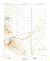
1936 · Guijarral Hills
USGS Topo · 1:31,680
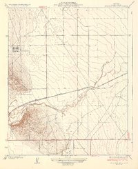
1937 · Guijarral Hills
USGS Topo · 1:31,680
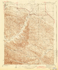
1941 · Kreyenhagen Hills
USGS Topo · 1:31,680