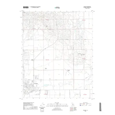
2018 Map of Coalinga
USGS Topo · Published 2018About this map
Coalinga sits at the foot of the Diablo Range, where the industrial character of Anticline Ridge meets the agricultural expanse of Pleasant Valley. This 2018 survey reveals the town's modern footprint, anchored by the West Hills College - Coalinga campus and the central commerce along Coalinga Plz. To the east, the New Coalinga Municipal Airport marks the transition into the San Joaquin Valley, while the north is defined by the complex topography of Oil Canyon and W K Hill. The landscape is etched by seasonal watercourses like Los Gatos Cr, Jacalitos Cr, and Warthan Cr, which drain the surrounding highlands toward the valley floor. Genealogists may note the Warthan Canyon Cem south of town, while the presence of Lake Los Nietos provides a rare perennial water feature in this arid environment.
Find a feature on this map
73 named features on this map. Tap any name to fly to it.
Don’t see what you’re looking for? This feature index may not catch every label — zoom into the map to look around manually.
Map Details
Editions of this 2018 Coalinga Map
This is the sole edition of this map. No revisions or reprints were ever made.
Other maps of this area

1912 · Coalinga
USGS Topo · 1:125,000

1928 · Delta Farms No 3
USGS Topo · 1:31,680

1930 · Canoas Creek
USGS Topo · 1:31,680

1932 · Delta Farms
USGS Topo · 1:31,680

1933 · Guijarral Hills
USGS Topo · 1:31,680

1934 · Canoas Creek
USGS Topo · 1:31,680

1936 · Kreyenhagen Hills
USGS Topo · 1:31,680
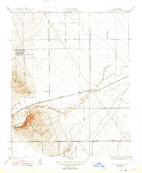
1936 · Guijarral Hills
USGS Topo · 1:31,680
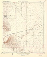
1937 · Guijarral Hills
USGS Topo · 1:31,680
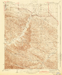
1941 · Kreyenhagen Hills
USGS Topo · 1:31,680