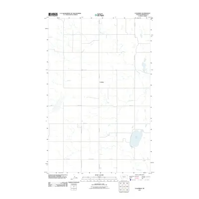
2011 Map of Coalridge
USGS Topo · Published 2011About this map
The small settlement of Coalridge sits at the intersection of a network of rural routes in Sheridan County, Montana, as documented by this 2011 survey. The landscape is defined by the winding course of Lake Creek, which flows through a region marked by numerous small basins and the prominent Clear Lake in the southeast. This portion of the northern plains reflects a modern infrastructure built upon long-established sectional lines, where local travel relies on descriptive thoroughfares such as Coalridge Hwy and Brotherhood Hall Rd. The distribution of roads like Emmaus Rd and Valley View Rd indicates a sparse but organized community layout, centered around the few clusters of buildings that constitute the local hub near the creek's upper reaches.
Find a feature on this map
14 named features on this map. Tap any name to fly to it.
Don’t see what you’re looking for? This feature index may not catch every label — zoom into the map to look around manually.
Map Details
Editions of this 2011 Coalridge Map
This is the sole edition of this map. No revisions or reprints were ever made.
Other maps of this area

1946 · Brush Lake
USGS Topo · 1:24,000

1946 · Dagmar
USGS Topo · 1:24,000

1948 · Dagmar
USGS Topo · 1:24,000

1948 · Brush Lake
USGS Topo · 1:24,000

1948 · Reserve SE
USGS Topo · 1:24,000

1949 · Reserve SE
USGS Topo · 1:24,000

1954 · Wolf Point
USGS Topo · 1:250,000

1958 · Wolf Point
USGS Topo · 1:250,000

1983 · Tadpole Lake
USGS Topo · 1:24,000

1983 · Dooley SE
USGS Topo · 1:24,000