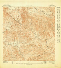
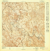
1947 Map of Coamo NE
USGS Topo · Published 1947About this map
The Cordillera Central ridge dominates this mid-century survey, showcasing the complex interior topography where the borders of several municipalities meet. Along the northern slopes, the Escuela Federico Degetau serves as a central landmark for the rural communities of the uplands. The landscape is defined by its deep drainages, including the Río Cuyón and Quebrada Algarrobo, which flow through valleys that supported small settlements like Jácana and La Guaba.
Find a feature on this map
15 named features on this map. Tap any name to fly to it.
Don’t see what you’re looking for? This feature index may not catch every label — zoom into the map to look around manually.
Map Details
Editions of this 1947 Coamo NE Map
This is the sole edition of this map. No revisions or reprints were ever made.
Other maps of this area

1946 · Coamo
USGS Topo · 1:30,000

1946 · Barranquitas
USGS Topo · 1:30,000

1946 · Cayey
USGS Topo · 1:30,000

1946 · Comerio
USGS Topo · 1:30,000

1947 · Cayey NO
USGS Topo · 1:10,000

1947 · Cayey SO
USGS Topo · 1:10,000
1947 · Coamo SO
USGS Topo · 1:10,000
1947 · Barranquitas SE
USGS Topo · 1:10,000
1947 · Coamo NO
USGS Topo · 1:10,000
1947 · Comerio SO
USGS Topo · 1:10,000