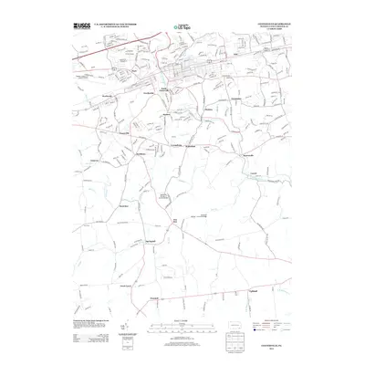
2013 Map of Coatesville
USGS Topo · Published 2013About this map
The W Br Brandywine Cr and its numerous tributaries, including Buck Run and Doe Run, define the rolling topography south of the industrial corridor. This landscape is marked by historic engineering, specifically the Speakman Number 1 Covered Bridge and Speakman Number 2 Covered Bridge, which span the waters near the settlement of Doe Run. The settlement pattern reflects a dense network of small communities such as Ercildoun, Modena, and Hephzibah that evolved alongside the region's agricultural and milling history.
Find a feature on this map
278 named features on this map. Tap any name to fly to it.
Don’t see what you’re looking for? This feature index may not catch every label — zoom into the map to look around manually.
Map Details
Editions of this 2013 Coatesville Map
This is the sole edition of this map. No revisions or reprints were ever made.
Other maps of this area

1901 · West Chester
USGS Topo · 1:62,500

1904 · West Chester
USGS Topo · 1:62,500

1904 · Coatesville
USGS Topo · 1:62,500

1905 · Honey Brook
USGS Topo · 1:62,500

1906 · Phoenixville
USGS Topo · 1:62,500

1906 · Coatesville
USGS Topo · 1:62,500

1907 · Honeybrook
USGS Topo · 1:62,500

1918 · Coatesville
USGS Topo · 1:62,500

1941 · Honeybrook
USGS Topo · 1:62,500

1943 · Coatesville
USGS Topo · 1:62,500