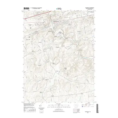
2016 Map of Coatesville
USGS Topo · Published 2016About this map
The industrial city of Coatesville and its surrounding villages sit at the heart of this mid-2010s survey, where the North Valley Hills and South Valley Hills frame the landscape of Chester County. The geography is defined by the winding course of the West Branch Brandywine Creek, which passes through the mill town of Modena and the settlement at Mortonville. Preservation of local heritage is evident in the presence of historic infrastructure, specifically the Speakman Number 1 Covered Bridge and Speakman Number 2 Covered Bridge crossing Buck Run.
Find a feature on this map
48 named features on this map. Tap any name to fly to it.
Don’t see what you’re looking for? This feature index may not catch every label — zoom into the map to look around manually.
Map Details
Editions of this 2016 Coatesville Map
This is the sole edition of this map. No revisions or reprints were ever made.
Other maps of this area

1901 · West Chester
USGS Topo · 1:62,500

1904 · West Chester
USGS Topo · 1:62,500

1904 · Coatesville
USGS Topo · 1:62,500

1905 · Honey Brook
USGS Topo · 1:62,500

1906 · Phoenixville
USGS Topo · 1:62,500

1906 · Coatesville
USGS Topo · 1:62,500

1907 · Honeybrook
USGS Topo · 1:62,500

1918 · Coatesville
USGS Topo · 1:62,500

1941 · Honeybrook
USGS Topo · 1:62,500

1943 · Coatesville
USGS Topo · 1:62,500