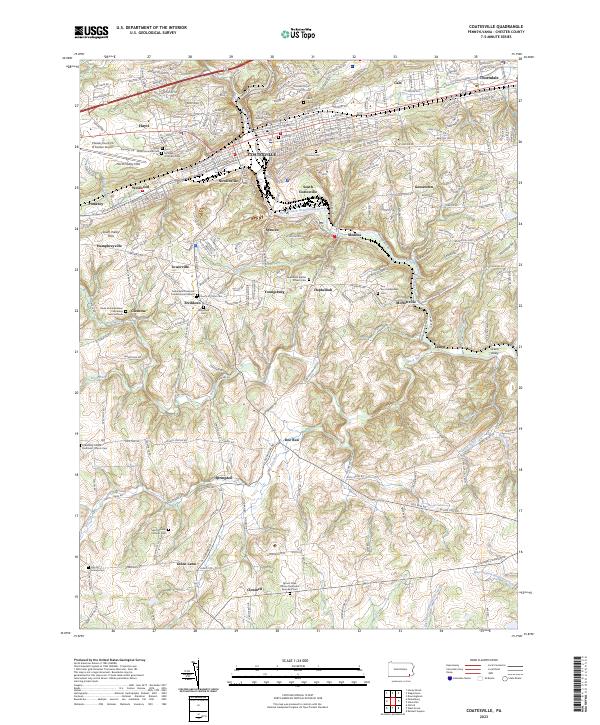
2023 Map of Coatesville
USGS Topo · Published 2023About this map
Coatesville stands as the industrial and transport hub of this section of Chester County, situated along the Amtrak corridor and the West Branch Brandywine Creek. The surrounding landscape is defined by the North Valley Hills and South Valley Hills, where small residential pockets like Newlinville, Westwood, and Modena developed alongside the rail lines and waterways. The map reveals a high density of religious and genealogical sites, particularly in the rural south and west, reflecting the area's Quaker and diverse ethnic heritage.
Find a feature on this map
61 named features on this map. Tap any name to fly to it.
Don’t see what you’re looking for? This feature index may not catch every label — zoom into the map to look around manually.
Map Details
Editions of this 2023 Coatesville Map
This is the sole edition of this map. No revisions or reprints were ever made.
Other maps of this area

1901 · West Chester
USGS Topo · 1:62,500

1904 · West Chester
USGS Topo · 1:62,500

1904 · Coatesville
USGS Topo · 1:62,500

1905 · Honey Brook
USGS Topo · 1:62,500

1906 · Phoenixville
USGS Topo · 1:62,500

1906 · Coatesville
USGS Topo · 1:62,500

1907 · Honeybrook
USGS Topo · 1:62,500

1918 · Coatesville
USGS Topo · 1:62,500

1941 · Honeybrook
USGS Topo · 1:62,500

1943 · Coatesville
USGS Topo · 1:62,500